
A Guide for Owners and Investors

The decision to construct a building or purchase a plot of land is one of the most significant steps in a person’s life. However, behind the architectural blueprints and visions lies a strict framework of urban planning regulations. Two of the most critical concepts that determine what you can build are the Building Density Factor (BDF) and the Plot Boundaries.
In this article, we clarify these concepts, explaining how they affect your future property and why proper information is the foundation of any successful project.
What is the Building Density Factor (BDF)?
The Building Density Factor is the number that determines the total square meters permitted to be built on a plot of land. It is a multiplier defined by the General Urban Plan of each specific area.
The Mathematical Calculation
The formula is simple yet decisive:
Total Allowable Floor Area = Plot Area × Building Density Factor
For example, if you own a 500 sq.m. plot in an area with a BDF of 0.8, the total allowable construction is:
500sq.m. * 0.8 = 400 { sq.m.}
This means that the sum of the floor areas of all building levels (above ground) cannot exceed 400 sq.m.
Beyond Square Footage: The Site Coverage Ratio (SCR)
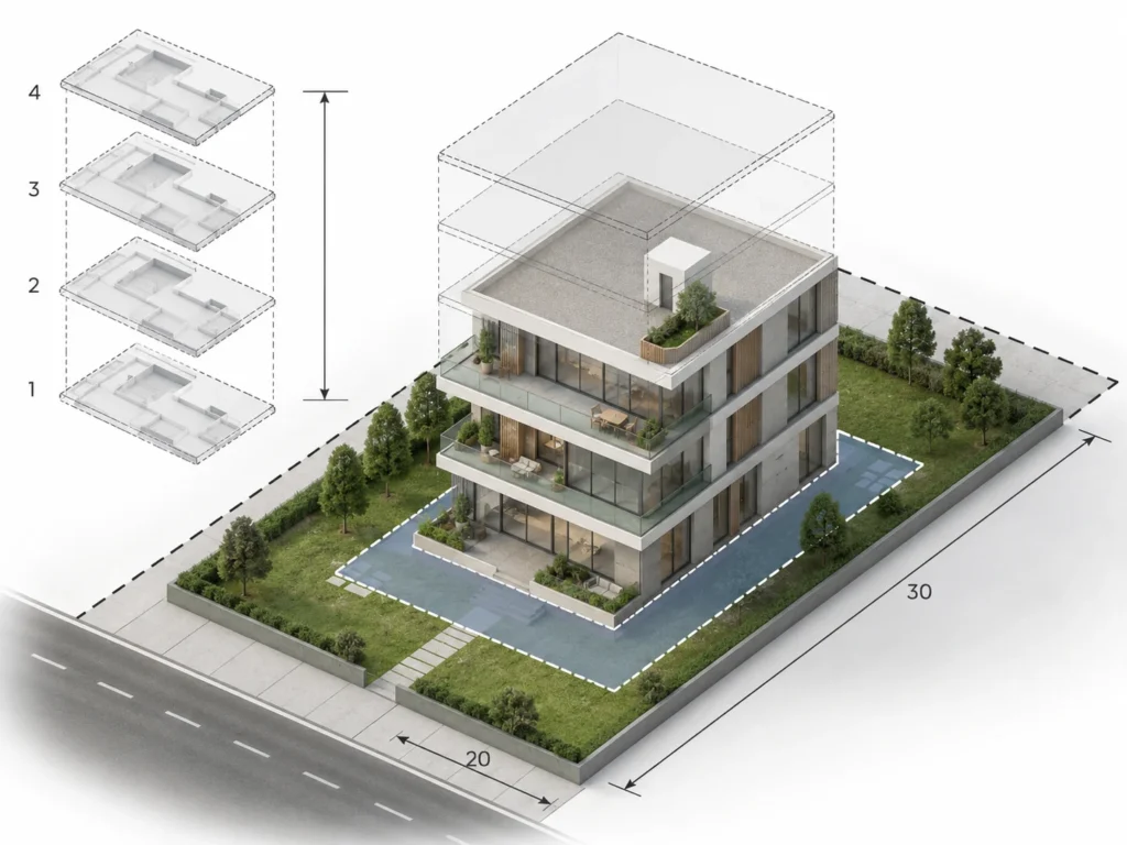
Property owners often confuse the Building Density Factor with the Site Coverage Ratio. While the BDF refers to the total square footage of all floors combined, the SCR defines the percentage of the ground that can be covered by the building’s footprint.
If your 500 sq.m. plot has an SCR of 40%, the footprint of your building on the ground can cover a maximum of 200 sq.m. (500 * 0.40). It is important to remember that balconies, pergolas, and certain semi-outdoor spaces may be calculated differently or excluded, depending on the current New Building Regulation (NOK).
Plot Boundaries and the Importance of a Topographic Survey
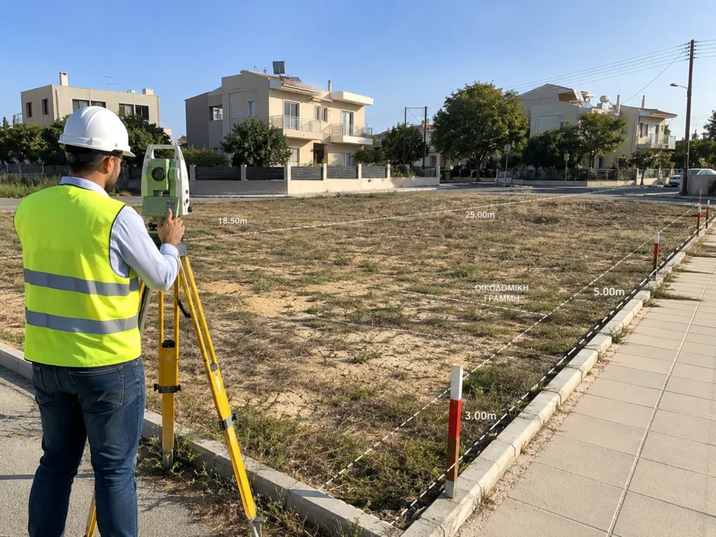
Before any structural design begins, we must know exactly “where your property ends.” Plot boundaries are not just lines on a map; they determine:
- Easements: Sometimes, a plot may carry easements (such as utility line passages or rights-of-way), which restrict construction in specific areas.
- Setback Distances (D): The law mandates a minimum clearance distance between the building and the plot boundaries (often referred to as “D”). This ensures adequate ventilation, natural light, and fire safety.
- Building and Alignment Lines: We must be absolutely certain which part of the plot belongs to the owner and which part might be subject to future city planning alignment (e.g., expropriation for roads or sidewalks).
Why a Technical Study is Essential

Many view building density as a static number. In reality, modern architectural design allows for building “bonuses” (e.g., incentives provided by the building code for energy efficiency upgrades, green roofs, or the retirement of old structures).
Conclusions
Knowing the boundaries and building potential of a plot is the difference between a dream home and a failed investment. Understanding how these numbers translate into square meters and open space is the first step to building safely.
Do not leave technical details to chance. An experienced engineer can unlock potential in your plot that you might not even imagine, while ensuring the legality and longevity of your construction.
Are you thinking of buying a plot, or do you already own one and want to know its true potential? Contact our team today for a preliminary technical assessment.